
What’s happening?
The Department of Transport and Main Roads (TMR) is ramping up monitoring efforts at a large, slow-moving landslide impacting a 400-metre section of Gatton–Clifton Road at Mount Whitestone. Safety measures, including signage and enhanced inspections, aim to maintain access and alert motorists to changing road conditions.
TMR’s Mount Whitestone Recovery Project Manager, Murray Peacock, said, “We aim to give motorists plenty of warning about the conditions on the Gatton–Clifton Road at the Mount Whitestone landslip, and have the ability to quickly and easily limit access or close the road and reopen it again when appropriate.”
Why it matters
Gatton–Clifton Road is a vital transport corridor linking the Lockyer Valley and Darling Downs to the Warrego, New England, and Cunningham highways. The slow-moving landslide is causing road deformation and increases the risk of debris falling, particularly during seasonal wet weather. These hazards pose serious safety risks to the community and travelling public.
Peacock added,
“It is essential that people are aware and have the information they need to make good decisions when choosing their journey to drive safely on our roads.”
Local Impact
Primary producers, freight operators, and residents in the Lockyer Valley and Darling Downs heavily rely on Gatton–Clifton Road for daily transport. Any deterioration or sudden closure could disrupt local communities, delay freight deliveries, and impact agricultural operations.
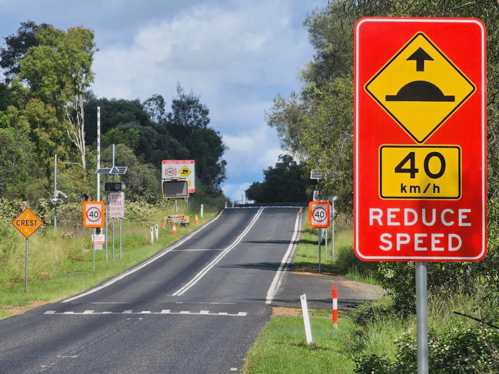
TMR encourages motorists to exercise caution, observe all traffic signs, adhere to reduced speed limits, and monitor the QLDTraffic website for live updates.
By the numbers:
-
400 metres of Gatton–Clifton Road is directly affected by the slow-moving landslide.
-
Gatton–Clifton Road connects three major highways: Warrego, New England, and Cunningham.
-
Motorists can report hazards by contacting the state-wide traffic management centre on 13 19 40.
Zoom In
TMR has already installed signage to alert motorists ahead of the landslip risk zone. These signs warn about the possibility of changing conditions and reinforce the need for caution. While the department inspects the site regularly, they also rely on public reports to act swiftly if new hazards arise.
If conditions deteriorate significantly or debris poses a hazard, TMR will act quickly to restrict access or temporarily close the road. Restoration work will follow immediately to ensure public safety and network connectivity.
Zoom Out
The situation at Mount Whitestone highlights the broader infrastructure challenges in regional Queensland, where wet weather and natural movements can heavily impact key transport routes. Proactive monitoring and rapid response strategies are critical to keeping regional communities connected and safe.
What To Look For Next?
Motorists should stay informed through QLDTraffic and roadside signage for any updates regarding road closures or changes in access. TMR remains committed to ensuring safe, reliable travel and will restore road access as soon as possible if closure occurs. Further safety updates from the Mount Whitestone Recovery Project will follow as conditions evolve.
TMR thanked the community for their patience and ongoing cooperation during this period.